
Marshall Neighbors by the Block
Public records can place a Marshall address within a small group of parcels, but each source answers a different question. The Harrison Central Appraisal District map supplies the parcel layer. County plats and deeds explain lot lines and transfers. Marshall code material can supply an address or parcel reference for an administrative matter. The state voter tool is designed for an individual registration check, not for browsing a block. Marshall library holdings and civic agendas add historical or community context when a parcel record alone is too thin.
| Block record | What it can show near an address | Marshall access route |
|---|---|---|
| HCAD dynamic map | Parcel adjacency, situs and mailing fields, owner, value, identifiers, and legal description | Public map with a narrow address or ID search |
| County plats and deeds | Lot or block geometry and a transfer trail | Harrison County Clerk, Kofile historical index, or a clerk-assisted copy request |
| Texas voter material | Registration and precinct information subject to election law | Individual SOS lookup, County Elections, or a formal state file request |
| Marshall code cases | Address or parcel case status and administrative context | iWorQ route, Neighborhood Code Enforcement, or a focused records request |
| Civic plans and agendas | Named neighborhood organizations, public meetings, and local topics | Marshall plan documents and the Agenda Center |
| Library local history | Older directory, newspaper, obituary, or map context | Marshall Public Library reference desk and in-house collections |
For Marshall neighbors, an HCAD owner field shows a person or entity associated with a parcel. It does not prove present occupancy, a full household, or a relationship between nearby addresses. A city case identifies an administrative record, not a resident register. Keeping those evidence types separate is the best way to avoid turning a useful block check into an unsupported claim.
Marshall Neighbor Parcel Cards
HCAD calls the location field a Property Address or Situs Address and displays Owner Mailing Address separately. That distinction matters in Marshall, where tax mail can go somewhere other than the parcel itself. A narrow HCAD search can use an address, owner name, Property ID, Owner ID, Geographic ID, Reference ID, Tax Office ID, or advanced property filters. Broad results may be limited to the first 1,000 matches, so a complete street name or identifier is safer than a citywide name search.
On a matching Marshall card, preserve the Property ID or GEO ID before moving to another system. The available labels include owner name, property address, city, legal description, acreage, market value, and last deed date. A last deed date is a useful starting point for the transfer trail, not the full history. Keep the site address and the owner mailing address in separate notes, because they serve different record purposes.
- Situs address
- The physical parcel location used on the appraisal record.
- Owner mailing address
- The delivery address used for tax correspondence. It may differ from the Marshall parcel location.
- GEO ID
- An HCAD geographic identifier that helps reconnect a map result to its property card.
- Legal description
- The lot, block, subdivision, abstract, or survey wording that ties the parcel to recorded land documents.
Note: A homestead-related field can suggest a claimed owner connection, but it does not establish who is presently at an address.
Map Marshall Neighbor Parcels
The documented Marshall workflow stays close to one target parcel. HCAD Maps offers Address, Owner Name, Property ID, Geo ID, Abstract Search, Subdivision Name, and Market Area Name modes. Its visible radius tool accepts a radius plus latitude and longitude. The live application did not yield a verified export of a neighbor list, so treat the map as a way to inspect individual parcel cards, not as a list of people around a home.
For a careful Marshall block check, follow this record flow:
- Search the target address in HCAD Maps and record its PropID or GEO ID, situs address, and legal description.
- Open the parcel card, then pan or select the nearby parcel polygons one at a time.
- Record only the fields the individual cards display, keeping each mailing field separate from its situs field.
- Compare legal descriptions or a recorded plat before deciding that two lots truly meet or form part of the same tract.
- Use the County Clerk or Kofile for a specific transfer question, searching both party roles and the legal description where needed.
The HCAD Maps parcel view shows the address and parcel search environment used for this first step.
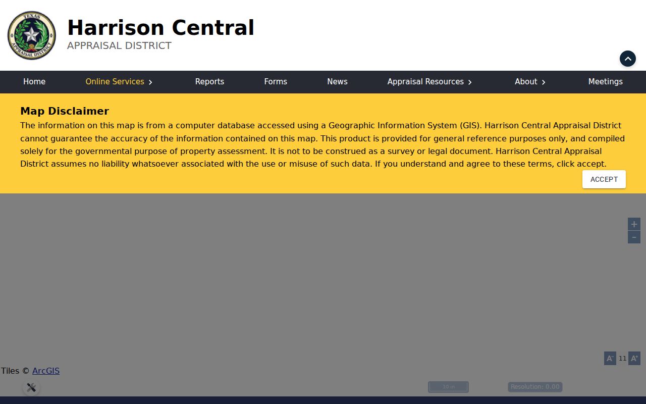
The captured Marshall map interface documents the search modes and parcel-oriented approach. It does not supply a verified live export of adjacent household information.
When the task becomes a full named-street record trail rather than a small radius, use the Marshall by-street directory for that broader address workflow.
Marshall Neighbors and Lot Lines
A pair of Marshall addresses can look adjacent while belonging to a multi-unit parcel, a road-separated tract, or lots described under different subdivisions. The legal description resolves that ambiguity better than a street number. HCAD exposes lot, block, subdivision, abstract, and survey context where the card carries it. The County Clerk holds plats and recorded instruments, while the Kofile historical index provides deed-index books for 1840 through 1920 and deed-of-trust books for 1880 through 1907.
Take the HCAD legal description to the clerk index with the owner name. Search the owner as grantee to locate an incoming transfer, then search the earlier grantor as grantee when following a past transfer. Older Marshall instruments may not use a modern street number. A book, volume, page, or document reference is the bridge to a copy or image request. Current county self-service coverage was not published in the accessible disclaimer, so the courthouse counter, clerk phone, email, mail, or fax route remains important when an online search ends.
Marshall Public Library and the historical museum are useful in-person fallbacks for older maps, local books, photographs, and directories. Those sources provide context for an old block, but they should not be used to infer a current address from a historic mention.
Marshall Neighbor Voter Boundaries
Texas voter material is much narrower than parcel material. The free Texas "Am I Registered?" lookup is meant to check an individual registration and polling context. It is not a public street browse. Harrison County Elections can explain local registration, precinct maps, voter-list material, and current procedures. The state request form for a larger voter file has its own delivery choices, filters, deposit, and use limits.
Election Code Chapter 15 identifies public voter-certificate fields such as name, residence address, mailing address when no residence is supplied, birth year, precinct, effective-registration date, and registration number. Election Code Section 13.004 protects Social Security numbers, Texas identification information, and telephone numbers. Election Code Section 18.005 governs public voter fields and does not open ballot choices. For Marshall blocks, precinct maps, notices, and aggregate public information are better geographic tools than publishing a list of names and exact addresses.
Note: A registration status can change, and an older entry does not establish that a person still lives at a Marshall address.
New Town’s Marshall Neighbor Record Trail
New Town gives Marshall block research a local history layer. The City of Marshall places the neighborhood on the southwest side and connects it to the 28-site Buard Historic Trail and African American history. Marshall's Comprehensive Plan names the New Town Association in its preservation-planning context, and a 2023 city newsletter records a New Town Neighborhood Association cleanup partnership at Mt. Zion Spiritual Church #2. Those public references give Marshall neighbors civic and historic context, not a current membership list or a claim about any address.
New Town Association
Named in Marshall's Comprehensive Plan as part of a historic-preservation planning effort.
Use the city plan for documented neighborhood context. No public membership directory was verified.
Keep Marshall Beautiful
Public board meetings are held on the first Tuesday at 4:30 in the Marshall Public Library board room.
Agenda material can show civic topics and participants, but it is not a neighborhood roster.
Marshall Public Library
Local-history reference help: 903-935-4465. The library holds newspapers, local books, and in-house research resources.
Ask staff about historic address material rather than assuming an online association directory exists.
The city plan identifies historic resources and older Marshall neighborhoods, yet no public citywide neighborhood-association or HOA directory was verified. Likewise, public congregation, block-watch, and fraternal rosters were not found in official sources. That absence is meaningful: a community organization can offer public history without creating a directory of private households.
Marshall Neighbor Address Cases
Marshall Neighborhood Code Enforcement adds a narrow administrative layer to a parcel search. The city says its iWorQ route can search case status by case number, parcel number, or parcel address. Its public concern form asks for a location or address and comments. The researched interface did not expose the complete live field set, so use only the current city controls and contact Neighborhood Code Enforcement or submit a targeted Texas Public Information Act request when a particular older file is needed.
The Marshall Code Enforcement page is the source for the city route and its address-keyed case context.
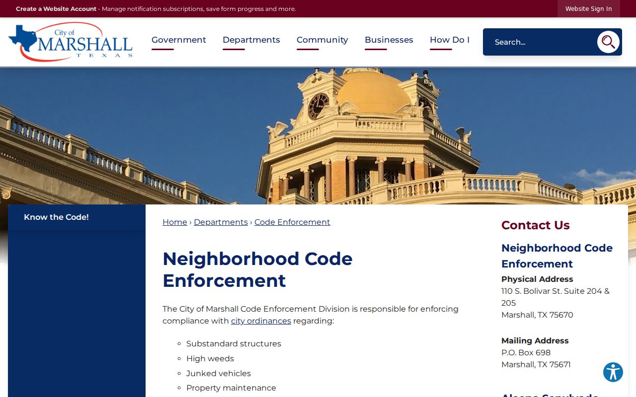
The captured Marshall page supports locating the official route for a parcel or case reference. A code record describes an administrative issue and must not be treated as proof of a household or personal identity.
Marshall permits are another focused option, but the research did not verify a complete public permit register. Development Services or the City Secretary is the documented fallback for a specific address request. City archives can also be filtered by keyword, archive category, time period, and date range for public city material.
Marshall Neighbor Sources Compared
Official sources and commercial neighbor-lookup products do not carry the same weight. An official Marshall or Harrison County record identifies its custodian, record type, and access limits. A commercial category may combine public-record fragments with licensed data, charge a subscription or report fee, and merge people with similar names. Neither category captures every household, and neither replaces checking the custodian when an exact fact matters.
| Source category | Useful for | Limits to keep in view |
|---|---|---|
| Official Marshall and Harrison records | Parcel fields, legal documents, city cases, precinct material, and defined access channels | Each record has a narrow purpose, may have fees, and can omit protected or nonpublic material |
| Commercial neighbor tools | Broad leads that may point to a record type or past address | May be stale, combine same-name people, omit corrections, or lack protected information |
| Library and museum research | Historic Marshall address, map, newspaper, and community context | Often in-house, incomplete by year, and not proof of present residence |
The strongest Marshall approach is to label the evidence as parcel owner, mailing recipient, registered voter, named party, or historic directory occupant. Those labels prevent a loose lead from becoming a statement about who currently lives nearby.
Marshall Neighbor Privacy Myth
A choice to suppress ordinary voter web display is not necessarily an absolute exemption from every Texas Public Information Act request. The Texas Address Confidentiality Program is a separate protected process for qualifying victims of family violence, sexual assault, trafficking, stalking, or child abduction. It supplies a substitute mailing address and keeps the voter record out of ordinary public display. Marshall records research must leave those protections intact instead of treating an absent result as a problem to solve.
The Texas Data Privacy and Security Act gives rights against covered private businesses, but it does not apply to state agencies or political subdivisions. It is not a blanket deletion route for Marshall, Harrison County, HCAD, or the Secretary of State. A person seeking help with the protected-address program can use the Texas Address Confidentiality Program rather than exposing details through a public request.
Note: A missing Marshall web result can reflect a limited index, a protected record, or no matching record at all.
Private Details of Marshall Neighbors
Some information should remain outside a Marshall neighbor search. Public parcel fields do not name all occupants or household members. Utility accounts, delivery records, driver information, sealed court material, protected voter information, Address Confidentiality Program records, and nonpublic complaints are not a general block resource. Recorded documents can also contain sensitive historical material, so request only the needed page and follow the County Clerk's current redaction procedure.
Lawful use. Use Marshall records for personal, lawful research, local history, reconnection, or civic curiosity. Texas Penal Code Sections 42.072 and 42.07 address stalking and harassment; never use a record to watch, threaten, or intimidate another person.
When an official record appears wrong, contact the Marshall, Harrison County, or state custodian with the supporting documents required by that office. A narrow request for a particular parcel, case number, or document is more useful than a request for broad personal information. That practice respects both Marshall neighbors and the limits built into the record systems.