
Walk a Marshall Street Record by Record
A Marshall street directory search works best as a chain. HCAD identifies a parcel, its current tax-record owner, its situs address, and a legal description. The parcel map then places that lot among nearby properties. The County Clerk’s deed index traces ownership interests. Voter records and historical directories have narrower uses and should not be presented as a complete street roster.
Keep a short research log. Record the exact address, Property ID, GEO ID, legal description, and source date before moving to the next system. That discipline helps when a street number is old, a surname has variants, or an owner’s mailing address is outside Marshall.
- Enter the street address in HCAD and confirm the Property Address or Situs Address, not merely a similar street name.
- Save the PropID, GEO ID, legal description, current owner, and Last Deed Date from the matching parcel record.
- Open HCAD Maps, locate the parcel, and check nearby polygons individually rather than using a broad street result.
- Search the owner as a grantee in Kofile or the current recorder route, then follow the prior grantor backward.
- For a past household, ask Marshall Public Library about reverse directories, newspapers, and historical directory volumes.
Marshall Street Directory Search Fields
Harrison Central Appraisal District offers compound text, name, Property ID, Owner ID, Geographic ID, Reference ID, Tax Office ID, property-address, and advanced modes. Compound text accepts an account number, address, or owner name. Use the exact property address or an identifier when working along one street, because broad searches are capped at the first 1,000 results.
| HCAD field | Type | Marshall street use |
|---|---|---|
| Compound Text Search | Text | Account number, address, or owner-name starting point |
| Property Address | Text search | Find a situs address on the named street |
| Property ID / GEO ID | Identifier | Pin down the exact parcel after a search |
| Advanced Search | Control | Property type, street, tax year, sorting, and other filters |
| Name | Text search | Check an owner name, then compare the parcel address |
HCAD’s property-search interface displays the core entry choices. 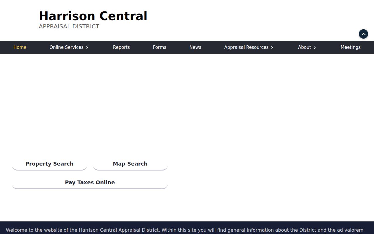 A property result may show an owner and mailing address, but those fields do not identify every resident at that address.
Map Marshall Parcels Along a Street
HCAD Maps adds address, owner name, Property ID, GEO ID, abstract, subdivision, and market-area search modes. Its visible radius tool takes a radius in miles plus latitude and longitude. For a street segment, search the target address, click the parcel card, then inspect nearby polygons one at a time. The public map gives spatial context, not a statement that every adjacent address is a single household.
The HCAD map viewer is the parcel layer for this work.  Preserve the legal description with the map identifiers, especially where a lot, subdivision, or abstract is more durable than an older street number.
Marshall Address Records by Street
Each Marshall address record has its own scope. HCAD is strongest for a current parcel and owner record. County instruments add the legal transaction trail. City code and permit material documents a specific administrative event. A library directory may identify a historical occupant. Pair the records instead of asking one source to supply facts it does not keep.
| Address-keyed source | Marshall keeper | Evidence it offers | Access channel |
|---|---|---|---|
| Parcel roll and map | HCAD | Owner, situs, mailing address, legal description, IDs, value | Online search/map; targeted request |
| Deed and conveyance index | Harrison County Clerk / Kofile | Grantor, grantee, type, year, book or page trail | Historical Kofile; current system; counter |
| Plats and restrictions | County Clerk | Lot, block, subdivision, and restriction context | Clerk index or image request |
| Code-enforcement case | Marshall Neighborhood Code Enforcement | Case, parcel or address context | iWorQ or public-record request |
| Permit or inspection | Marshall Development Services / Fire | Project or inspection evidence | Application route or targeted request |
| Historical directory | Library or museum partners | Past occupant or business association | In-person collection or database |
A Property ID and legal description link the parcel roll to deed research. A street name is helpful, but historical instruments can use a lot, block, subdivision, or abstract instead of a modern number.
Marshall Deeds Beyond the Street Number
The Harrison Kofile historical index exposes Type, Year, Parties, Last Name, First Name, Book, Volume, and Page controls. Its verified deed books span 1840 to 1920, and its deed-of-trust books span 1880 to 1907. The current county self-service and recorder systems are separate, so a Kofile miss does not settle a current-record question.
Search a current owner as grantee to identify the purchase instrument. Then search the seller as a grantee for the earlier acquisition. Look under grantor and grantee, surname variants, initials, and entity names. Order or inspect the underlying instrument when book and page clues point to the right record.
The historical Kofile index provides the book-and-party path. 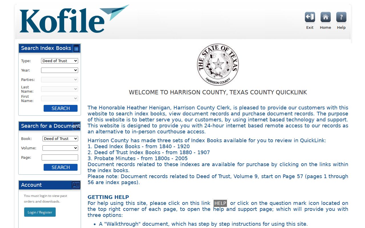 The county disclaimer says an index is a guide, so use the Clerk’s office for uncertified or certified copies and for material outside the documented online runs.
Marshall Street Code Cases by Address
Marshall’s Code Enforcement page directs users to iWorQ, where the city says status can be searched by case number, parcel number, or parcel address. The live dynamic field list was not captured, so do not assume more filters than the city publishes. The public concern form is a route for a location and comments, not a resident-list form.
Harrison County’s records-search disclaimer is the current-system reminder that an index is a guide, not the underlying record. 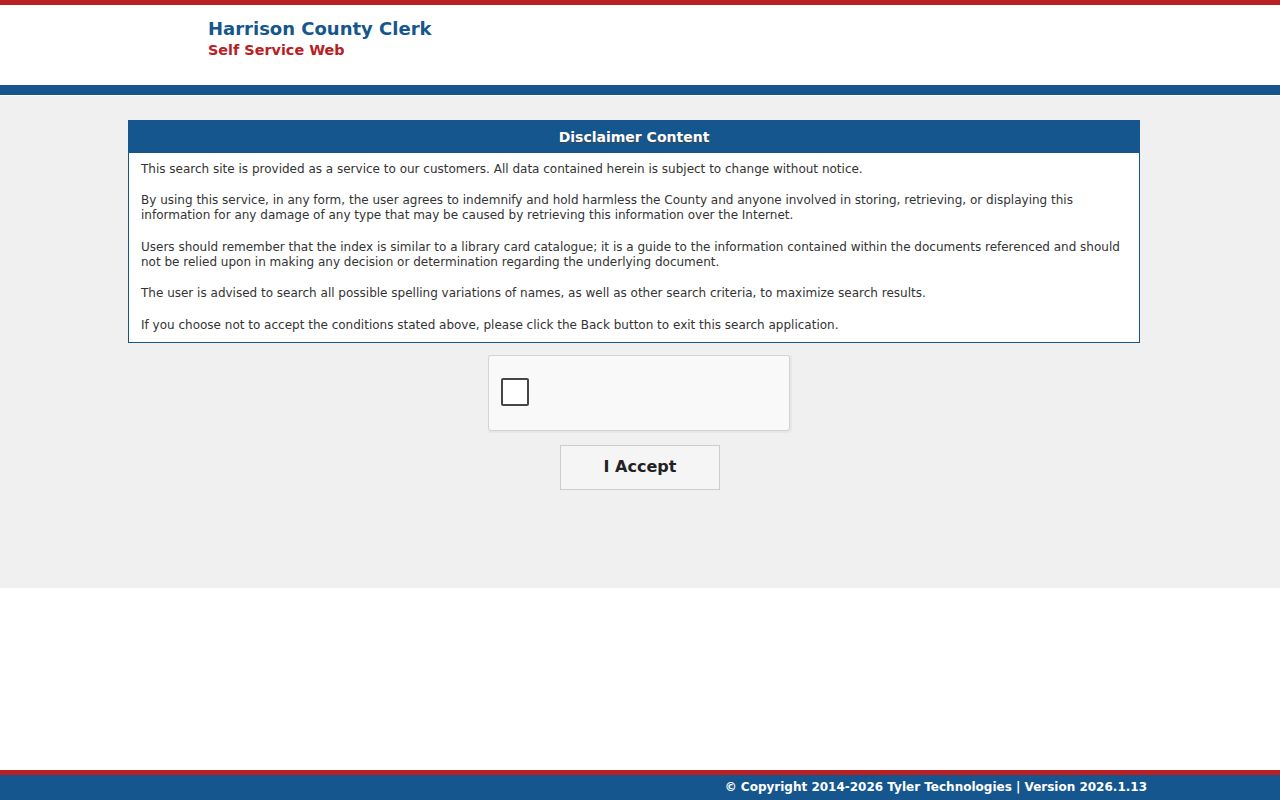 Permit records are not documented as a complete public register, so ask Development Services or submit a focused Texas Public Information Act request for an older file.
Marshall Street Plats and Descriptions
A street number is only one way to identify land. The HCAD parcel card can provide a legal description, acreage, Property ID, GEO ID, and last deed date. A legal description may use a lot and block in a subdivision, or older abstract, survey, and metes-and-bounds language. Record that information before a deed search, because historic conveyances may omit the modern street number entirely.
Harrison County Clerk records plats and subdivision restrictions. The research confirms a 2026 filing fee schedule, but a researcher should confirm the exact current fee with the Clerk before ordering anything. A plat can show how a lot sits in a block or subdivision. It does not establish who occupies a home. Use the plat and legal description to choose the right parcel when two address results or old street names create uncertainty.
For a rural or older property, preserve the full abstract or survey wording alongside the address. That creates a bridge from HCAD’s modern parcel presentation to the book, volume, page, or instrument trail at the county recorder.
Marshall Street Research Beyond Online
When the online address search stops, Harrison County offers several documented alternatives. The County Clerk can be reached at the courthouse counter, by phone, through department email, fax, or written request. Ask for a public terminal or clerk-assisted search and include the address, legal description, party name, document number, or case number that is already known. The Clerk’s page says requests are routed by record group, which is more effective than a broad request for personal information.
Marshall Public Library is the in-person alternative for historical address work. Its local-history collection, newspapers, databases, and reference desk can help connect an old street to a directory or news item. The Harrison County Historical Museum, TSLAC, Portal to Texas History, and FamilySearch partner access provide additional historical channels. No standalone Marshall house-history guide or exact local Sanborn-map run was verified, so ask the collection staff what is available for a particular era.
Use the request channel that matches the material. County Clerk staff route document, probate, vital, and county-court questions through separate contacts. City records can be requested through the City Secretary under the Texas Public Information Act, while Marshall code and permit material may require Development Services or a targeted city request. A written description that identifies one address, date range, or document type gives the custodian a practical search starting point.
Marshall Voter Records by Street
The free Texas voter lookup is person-oriented. It should not be described as a street-wide browse. Texas Election Code identifies some voter-certificate information and protects Social Security numbers, Texas identification information, and telephone numbers. The current form’s visible fields were blocked during research, so readers should use only what the live service displays.
Harrison County Elections can explain local public-file procedures, precinct material, and the current official route. A full Texas voter-file request uses a formal SOS form, delivery selection, filters, a stated $75 deposit, and legal restrictions. That process is materially different from checking an individual registration.
Note: A voter registration, when lawfully confirmed, is a registration record, not a claim that every person living at an address appears in public material.
Marshall Street Names Through Time
No authoritative Marshall street-renumbering or renaming chronology was located in the research. Do not force an 1893 or 1924 directory number onto a current HCAD parcel. Instead, compare the old street name with the legal description, lot and block, subdivision, nearby intersection, plat, historic map, and the closest directory or census entry.
Marshall Public Library’s local-history resources point to newspapers, historical collections, Portal to Texas History, and Sanborn access through TexShare. The verified historical anchors are useful but incomplete: the museum has a documented 1893 directory example, TSLAC lists Marshall 1924, and the exact Marshall Sanborn year run was not located. State the gap rather than turning a guess into an address match.
- Parcel
- A defined property unit in the HCAD appraisal system, tied to an identifier and legal description.
- Situs address
- The physical property address in a tax record, distinct from an owner’s mailing address.
- Plat
- A recorded map that can identify lots, blocks, and subdivisions behind a street address.
- Criss-cross directory
- An address-arranged historical directory that may identify an occupant for a publication year.
Marshall Street Mailing and Situs
HCAD deliberately separates the Property Address or Situs Address from the Owner Mailing Address. The situs field describes the parcel’s physical location. The mailing field identifies where tax mail is sent and may belong to an out-of-county owner, a company, an estate, a family member, or a tax representative. Neither field creates a complete list of people living at the property.
This distinction is especially important in a street directory search. A home may be owner occupied, rented, vacant, held by an estate, or managed from elsewhere. A homestead exemption can be a clue about claimed owner occupancy, but it is not proof of current presence. Use the right label in notes and requests, and seek a second record when the purpose is to verify a specific historical connection.
Limits of a Marshall Street Directory
A street directory cannot identify every household member, renter, visitor, utility customer, or delivery recipient. HCAD may show an owner and a mailing address, not a census household. DMV information is restricted by the Driver’s Privacy Protection Act and Texas law. Protected voters, Address Confidentiality Program participants, sealed court material, and nonpublic complaints also stay outside an ordinary address search.
For block-level context, compare individual parcels and legal descriptions rather than publishing a name-and-address list. The Marshall neighbors lookup has the narrower nearby-parcel workflow; this street directory remains focused on a complete street record trail.
Lawful personal research. Marshall street records can support family history, property questions, and careful civic research. Do not use an address trail to stalk, harass, intimidate, threaten, or harm anyone.