
Marshall ZIP Postal Coverage
Three ZIP codes appear in official postal and local materials for Marshall: 75670, 75671, and 75672. They are postal service areas, not a set of neighborhood boundaries. Marshall is inside Harrison County, while county roads and rural addresses continue beyond the incorporated city line. The most reliable use of a ZIP code directory is to confirm the address as USPS formats it, then check the parcel and governmental jurisdiction separately.
| ZIP | Marshall relationship | Post office note | Research use |
|---|---|---|---|
| 75670 | Marshall city delivery addresses in official USPS and city material | Marshall Post Office, 202 East Travis Street | Verify a street address in USPS before using it as a postal match |
| 75671 | Marshall mailing addresses, including official county and city P.O. addresses | USPS Postal Bulletin lists Marshall; exact station split was not located | Keep P.O. box or mailing data separate from the situs |
| 75672 | Marshall-area addresses used in city, county, and utility material | Exact station or P.O.-box status was not located | Check the municipality and parcel rather than assume city-limit membership |
USPS Postal Bulletin material verifies all three ZIPs. A Texas GIS or data source lists 75670 and 75671 for Marshall, while official local material also uses 75672. No authoritative source found in research identifies exact delivery routes, ZIP realignment dates, or a complete list of neighborhoods by ZIP. Do not fill that gap by assigning a ZIP to a neighborhood or person without an address check.
Note: A Marshall ZIP code names a postal area, while parcel and municipal records answer different location questions.
Marshall ZIP Verification
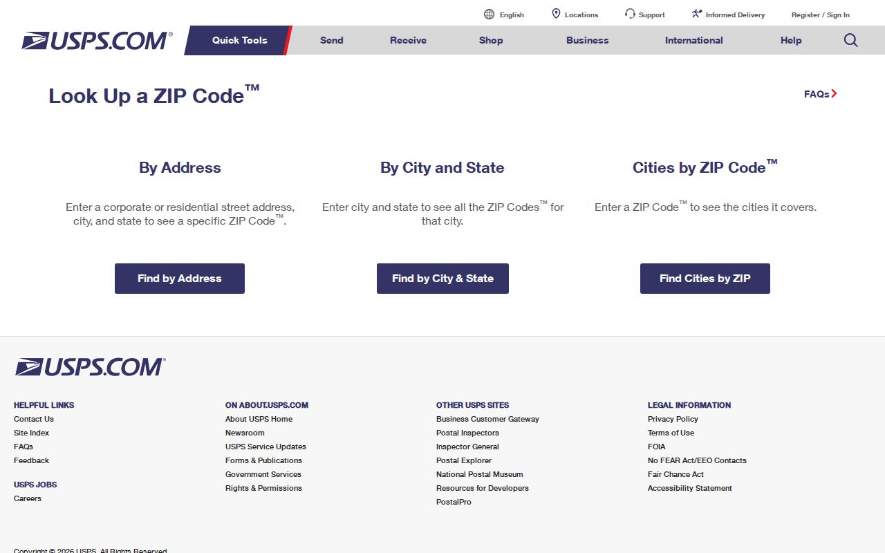
The USPS ZIP Code Lookup is the postal verification layer for a Marshall address. Its By Address mode accepts Company, Street Address, Apt/Suite/Other, City, State, and ZIP. Street, city, and state are required; company, unit, and ZIP are optional. The tool also offers a City and State search, Cities by ZIP, and controls to edit or run another search.
USPS states that a result does not confirm a person or company at an address. It confirms postal addressing and helps catch a missing unit, street variation, or incorrect ZIP. That makes it the first check when a letter, historical directory entry, or record printout has a Marshall ZIP but an uncertain address form.
The official USPS lookup is shown below. Enter a complete, verified address rather than relying on a city name alone when a precise ZIP code matters.
Use the returned ZIP with the street and unit exactly as the tool presents them. A clean postal result is useful evidence of delivery format, but it does not establish ownership, residency, city jurisdiction, or the legal description in a deed.
| USPS mode | Visible fields | Best Marshall use |
|---|---|---|
| By Address | Street, city, state, optional company, unit, and ZIP | Confirm a complete Marshall delivery address |
| By City and State | City and state | Identify postal ZIP choices for Marshall |
| Cities by ZIP | ZIP | Check the city labels USPS associates with a ZIP |
Marshall ZIP Search Limits
A ZIP is not a ready-made resident list in the local portals examined for Marshall. HCAD’s basic search accepts address, owner, property ID, owner ID, geographic ID, reference ID, tax-office ID, and advanced property filters. A ZIP field was not exposed in its public labels. The city code-enforcement portal accepts a Parcel Address, not a documented ZIP-wide browse. Do not promise a countywide parcel list for one ZIP when the search screen does not offer that filter.
The free Texas voter lookup is also person-oriented. A broader SOS voter-file request has Texas mailing-address filters, selected county or district delivery, status selections, and a $75 deposit, but research did not establish a ZIP-wide public resident query. Election-law protections still apply. Use a known name and a verified address, not a postal-area label, when checking a registration question.
Harrison County’s property, deed, court, and city systems use different keys. HCAD relies on parcel and tax data, deeds rely on parties and legal descriptions, voter records use residence or mailing fields, and USPS uses deliverability. A Marshall ZIP code directory can organize these results, but it cannot merge them into a single identity result.
Marshall ZIP Research Steps
To look for public records within a Marshall postal area, make the address specific before searching. The ZIP narrows the place, while the street, unit, parcel identifier, and legal description determine which record system can answer the next question. This sequence avoids treating a city label as a parcel boundary.
- Use USPS to confirm the street address, unit, city, state, and ZIP as a deliverable address.
- Search that complete address in HCAD or its map, then record the PropID, GEO ID, situs, and legal description if a parcel card appears.
- Use the known name in the official voter lookup only for its person-oriented purpose, or ask Elections about lawful file-request procedures.
- Search the Harrison County Clerk index by party or legal description when a recorded instrument is relevant.
- Check the city or county jurisdiction before treating a Marshall postal label as a City of Marshall record.
Once a ZIP leads to a particular road or block, the Marshall by-street directory supplies the address-based parcel and deed workflow. Keep the ZIP with the result as context, not as the only location key.
Note: A complete address and parcel identifier are stronger record keys than a ZIP when local systems use different boundaries.
Marshall ZIP Parcel Clues
After USPS confirms the address, Harrison Central Appraisal District supplies the parcel side of the search. Its cards can display Owner Name, Property Address, City, Legal Description, Size Acres, Last Deed Date, Owner Mailing Address, Market Value, PropID, and GEO ID. These fields reveal why a ZIP match should not be mistaken for a current-resident match: a tax mailing address can be elsewhere, and an owner may be an estate, business, or representative.
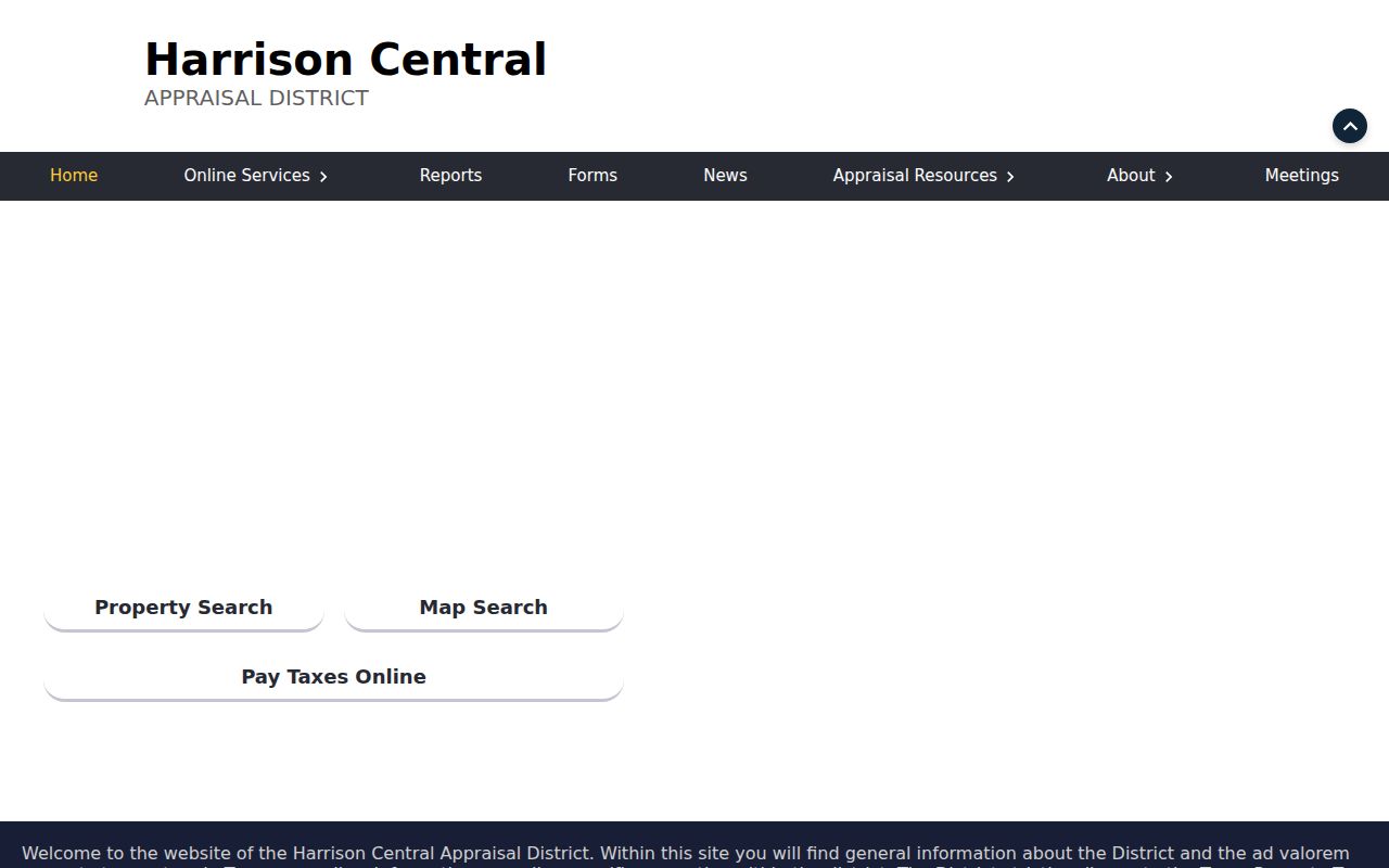
The HCAD search interface below is a useful second screen after postal verification. Narrow a broad result by address, name, or identifier. HCAD warns that only the first 1,000 results may appear in a broad search, so a ZIP-wide query would be a poor substitute for a specific address.
Save both the situs field and the owner mailing field exactly as labeled. The situs identifies the parcel’s location; the mailing field identifies where tax correspondence goes. Neither field creates a complete household list.
Marshall ZIP Map Context
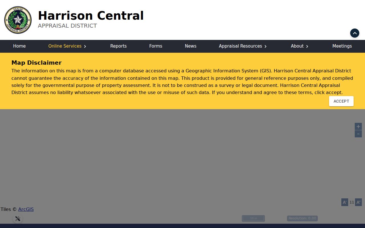
The HCAD public map adds spatial context after an address or parcel is known. Visible search modes include Address, Owner Name, Property ID, Geo ID, Abstract Search, Subdivision Name, and Market Area Name. The application also shows a radius tool with a distance, latitude, and longitude. Its dynamically configured layers should not be treated as a published ZIP-boundary service.
The official HCAD map view is shown below. Select a returned parcel and preserve the Property ID, situs, legal description, and owner or mailing labels rather than relying on the map’s place label alone.
Marshall’s older neighborhoods, downtown and New Town provide useful historical place context, but research did not locate a complete official ZIP-to-neighborhood map. A parcel map can show the relation of one property to streets or subdivisions without claiming that a ZIP precisely outlines a neighborhood.
Marshall ZIP Address Types
Postal and records terms look similar, yet they do different work in a Marshall ZIP code directory. A deed follows a legal description and party names. HCAD follows the parcel and tax record. Voter records distinguish residence and mailing information. USPS validates how mail is delivered. Read the field label before moving a value from one system to another.
- ZIP versus ZIP+4
- A ZIP identifies a larger postal service area. ZIP+4 adds a delivery segment that helps sort mail more precisely.
- P.O.-box ZIP
- A postal code associated with box service or mailing use. It is not the physical situs of a parcel.
- Unique ZIP
- A ZIP assigned for a single organization or use. Research did not verify one for Marshall, so none should be assumed.
- Carrier route
- A postal delivery grouping. It is not a city-limit line, parcel boundary, or resident roster.
A P.O. box in 75671 can appear alongside a situs in 75670 or 75672. Likewise, a ZIP city label can serve a rural route beyond Marshall’s incorporated boundary. The legal description, parcel ID, and city or county jurisdiction resolve that mismatch more reliably than the printed ZIP.
Marshall ZIP Boundary Limits
Marshall’s 75670, 75671, and 75672 postal coverage does not prove that every matching address lies inside city limits. City and county offices use P.O. addresses in 75671, and local materials also use 75672 for Marshall-area addresses. The missing research evidence is important: no authoritative source located exact ZIP neighborhoods, carrier routes, P.O.-box-only status, or ZIP realignment dates. A postal label should never replace a jurisdiction check.
Boundary check. Confirm a Marshall address with USPS, then verify its situs and government jurisdiction through HCAD, the map, or the appropriate city or county office.
Historical research needs an additional check. The Marshall Public Library and partner collections can help connect an older street or address with a city-directory entry, newspaper, or census record, but the street number may have changed. Research verified a 1924 Marshall directory at TSLAC and an 1893 example in museum context, not a complete street-renumbering chronology. Compare the old street name, nearby intersection, legal description, lot or block, and parcel map before treating an old ZIP or number as a modern match.
Postal data is valuable when it is kept in its lane. It confirms address format and delivery context. Property, court, voter, and historical records each answer a different question and may have their own access limits.